Humphreys Peak & Sunset Crater/Wupatki National Monuments
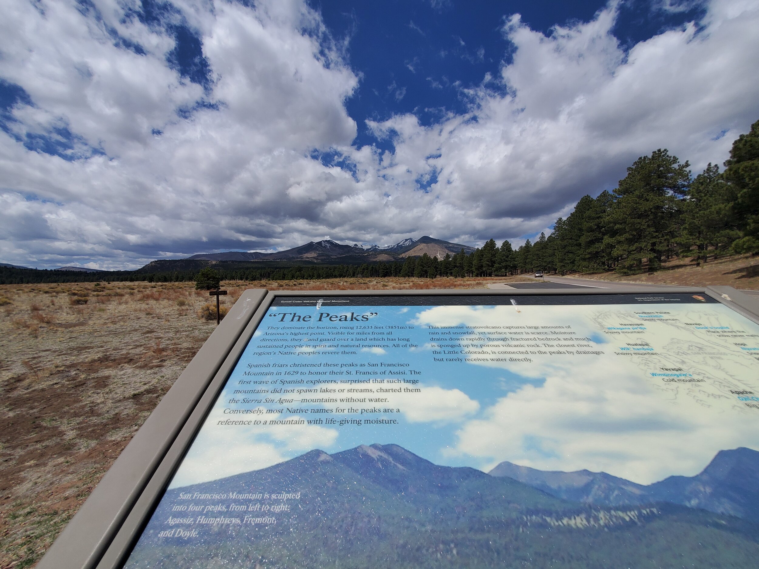
The Peaks
This is the land of the Hopitutskwa (Hopi) , Havasu Baaja (Havasupai) , Pueblos , Hualapai , Hohokam , Diné (Navajo) among others. Google is helpful, but I don’t pretend to understand nuances of tribes so apologies if any of this information is off. The Peoples of the Mesa Verde Region is a solid resource.
Different tribes have different names for “the San Francisco Peaks” which is technically one mountain located in the Kachina Peaks Wilderness. I don’t know or really care who Humphreys was, but more importantly, here are some of the original names for the mountain.

The peaks have “specific religious significance to 13 Native American tribes” according to a well-written, albeit outdated (2016) article which briefly discusses the long-standing controversy of Arizona Snowbowl. There is more information here at Protect the Peaks. A more recent 2021 article in the Navajo Times highlights Indigenous opposition to Snowbowl’s proposed expansion and continued use of wastewater used to make snow.
“Snowbowl damages all life,” Tenakhongva said. “The most recent one is the expansion without consultation, without any appreciation of life for the Native American tribes.”

As always, this started out as a “simple” post about going on a mini-vacation and hiking a mountain. But, the more I learn, the more I am forced to constantly reckon with the fact that I am (always) on stolen land.
Awkward transition to staying overnight at an Airbnb in a town where the median home price is $383,600 and a one-bedroom rental will cost you about $1,300 a month. And Airbnbs are putting a strain on available housing. Fuck.
….
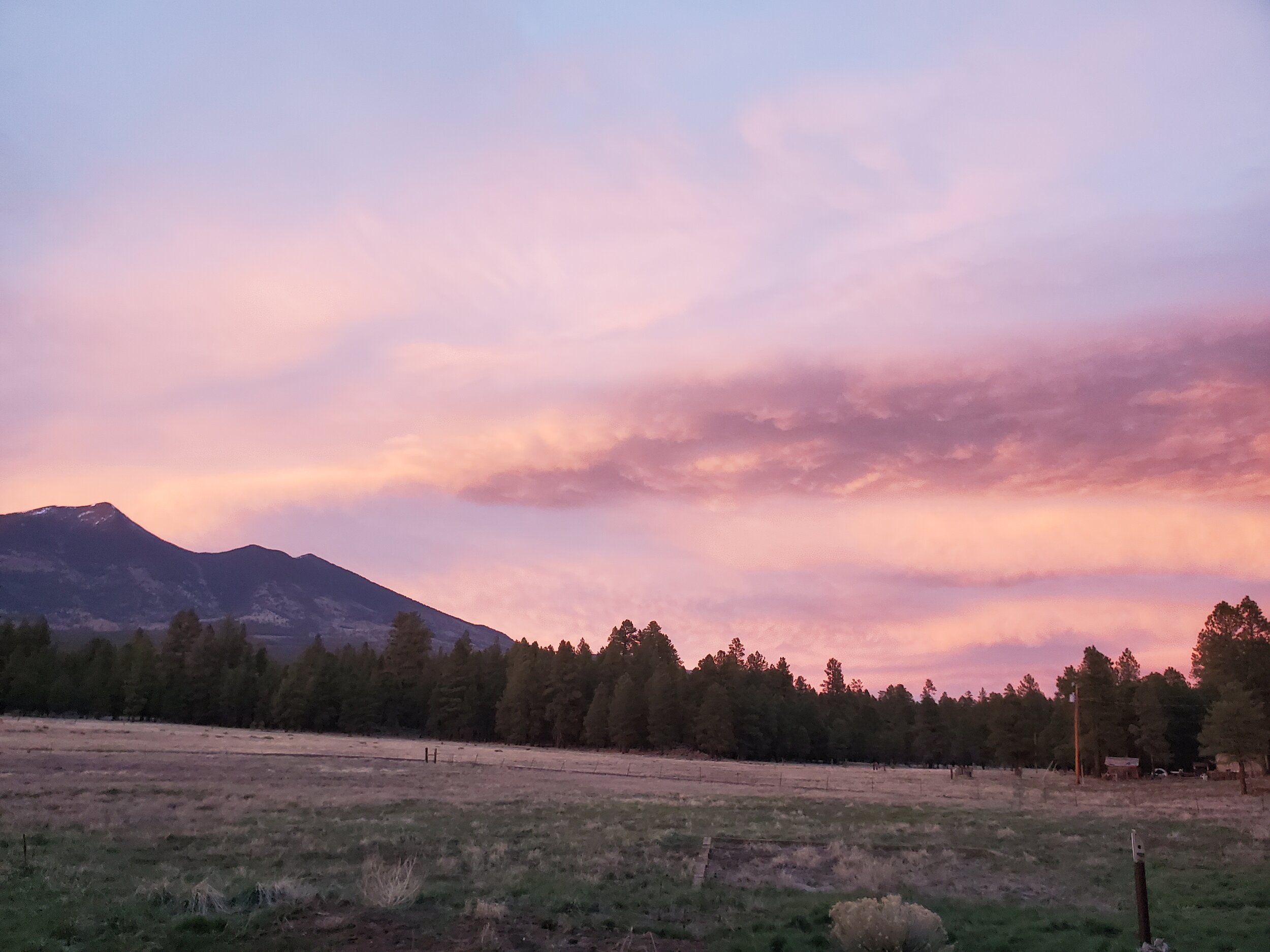
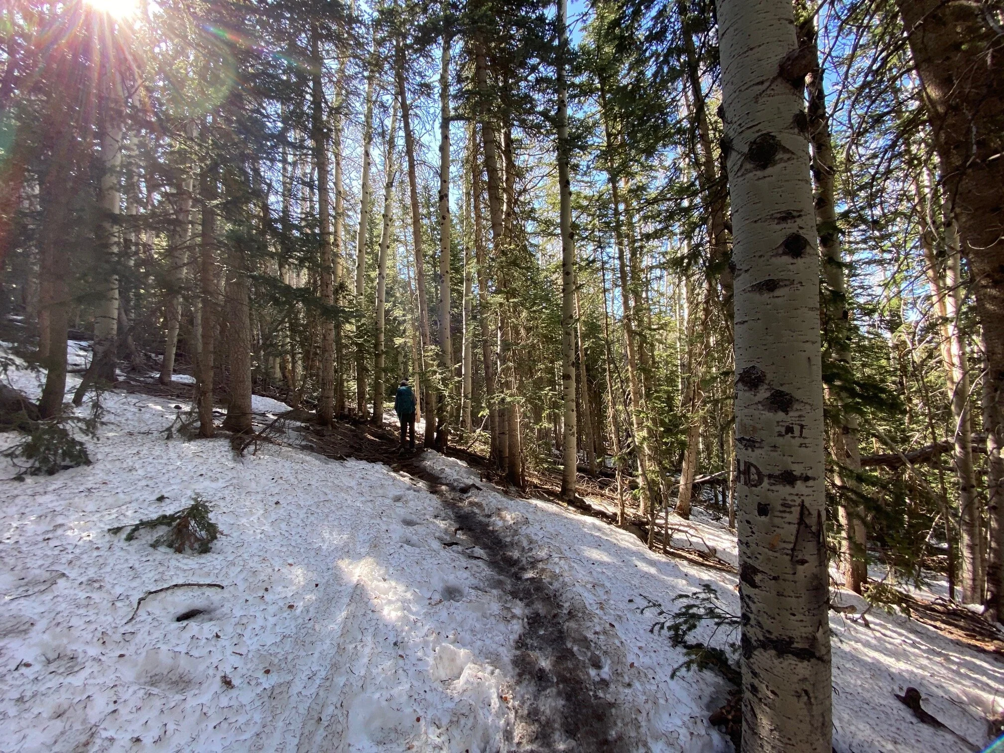
It was a peaceful Airbnb outside Flagstaff and we made (er, Ryan made) steak, asparagus, and whiskey for dinner while watching a dreamy hued sunset. The next morning we drove just up the road to the ski area where the trailhead is located. Snow mountain (aka Humphrey Peak) is the highest mountain in Arizona at 12,633 with a trail leading all the way to the top. The moderate grade climb through the woods on crunchy, hard snow was a bit of a slog but we moved fast and fortunately it was chilly enough to avoid post-holing. I was too stubborn to stop and put on Yak-traks but they would have been useful in places. We passed some old guys early on who said “we’ll never see you again!” and we didn’t.
Surprisingly there were still skiers we could see parallel to the trail, who appeared to have one run of ice (reclaimed wastewater ice) left.
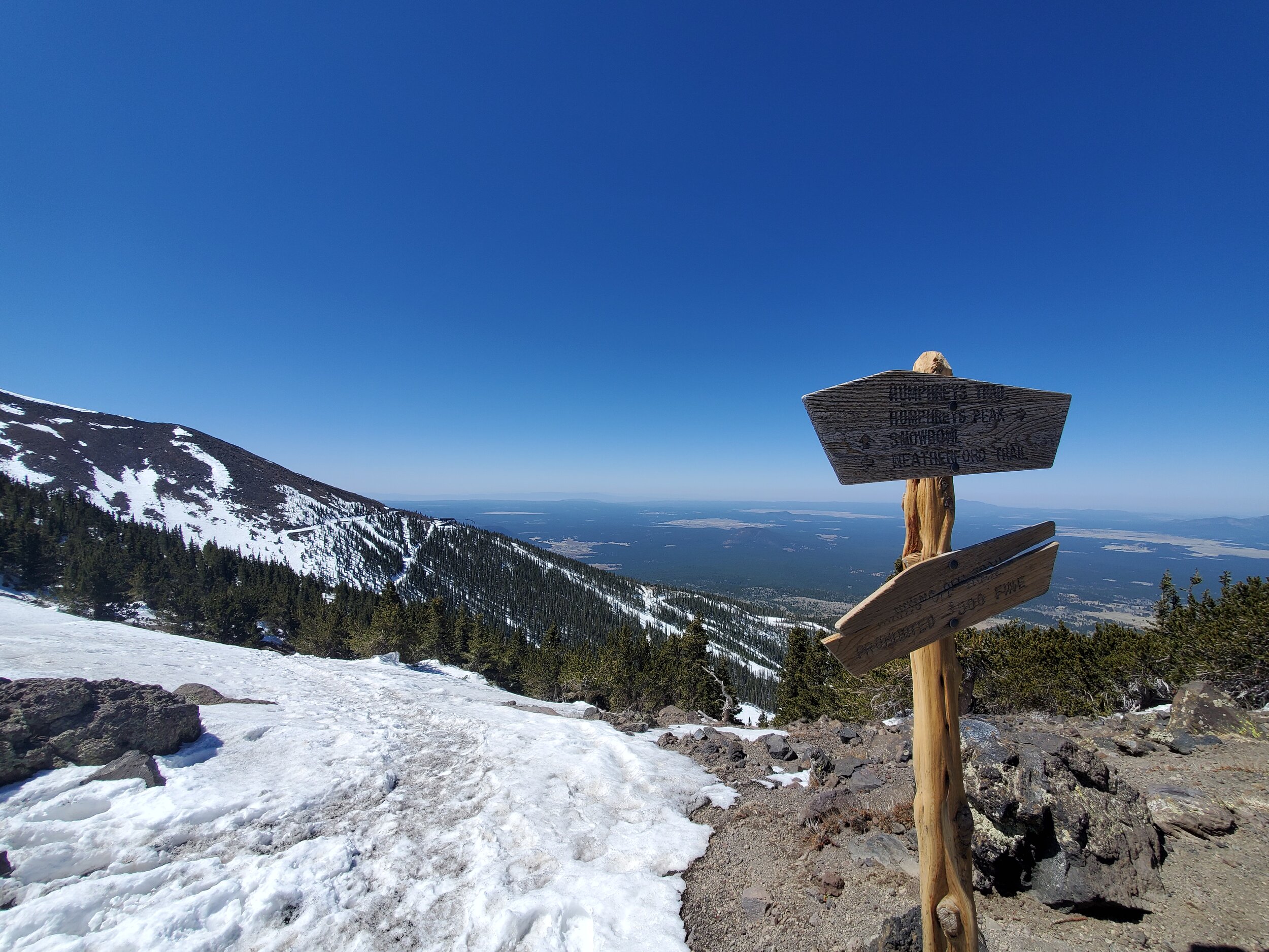


The most stunning, but frigid and gusty part of the hike was from saddle to summit. After hauling up to the saddle, I started to drag. I try not to blame elevation on much, but after living at 2,000 feet for a while, over 10,000 starts to feel like something. We crouched down in a rock shelter for a good 30 plus minutes on the summit to eat a chocolate sea salt bar.
I haven’t been that cold since autumn 2020 when it was twenty below at Great Basin. It wasn’t twenty below on the summit, probably just a little below freezing, but after leaving 100 degrees the day before…a bit of a shock.
Despite the low temp and wind gusts, it was a calm and delightful place to be a guest.
Sunset Crater & Wupatki National Monuments
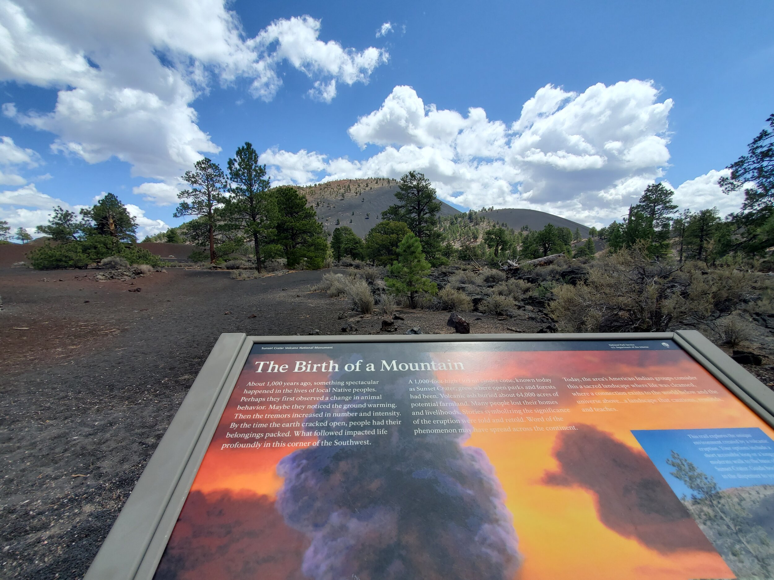

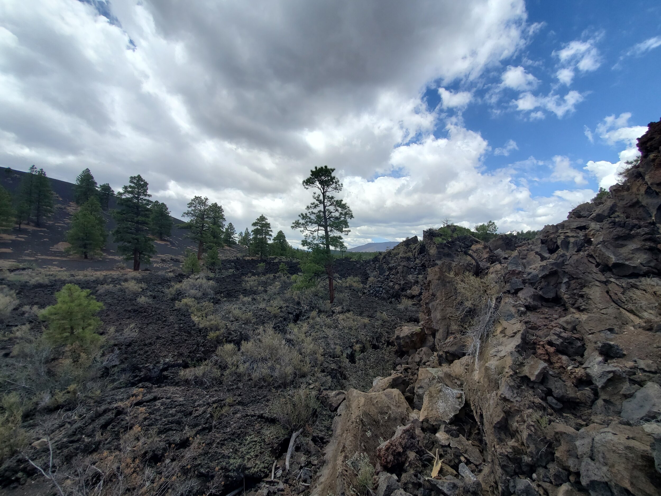
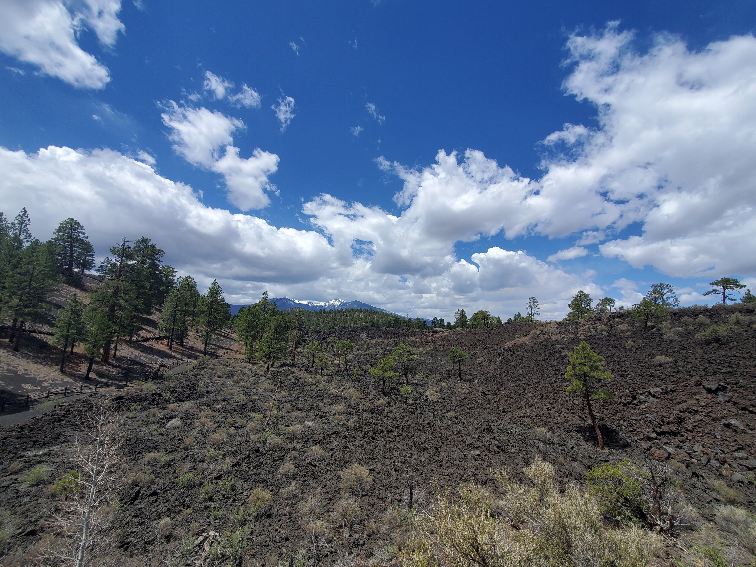

Sunset Crater National Monument protects an area around a volcanic cinder cone that last erupted around 1085 CE. It appears to be the most recent of numerous little volcanic cones around the area and even the snowy mountains/San Francisco peaks are the remains of the largest such former volcanoes. There is one short trail we hiked through the lava flows. The trail up to the top of the cone is closed due to damage to the mountain. It’s hard to blame the park service for this decision as the other cinder cones in the area are all scarred from OHV use.
First we went to Sunset Crater with a friend of Ryan’s and his inquisitive kiddos, the oldest who was looking for “chameleons” the entire time. We spotted a few lizards…We also tried to pay entry fees but the entrance station was already closed by noon and the visitor center said they couldn’t take money “because we are short staffed.” There were, maybe a dozen other people around so I guess the fees folks just thought, screw it.
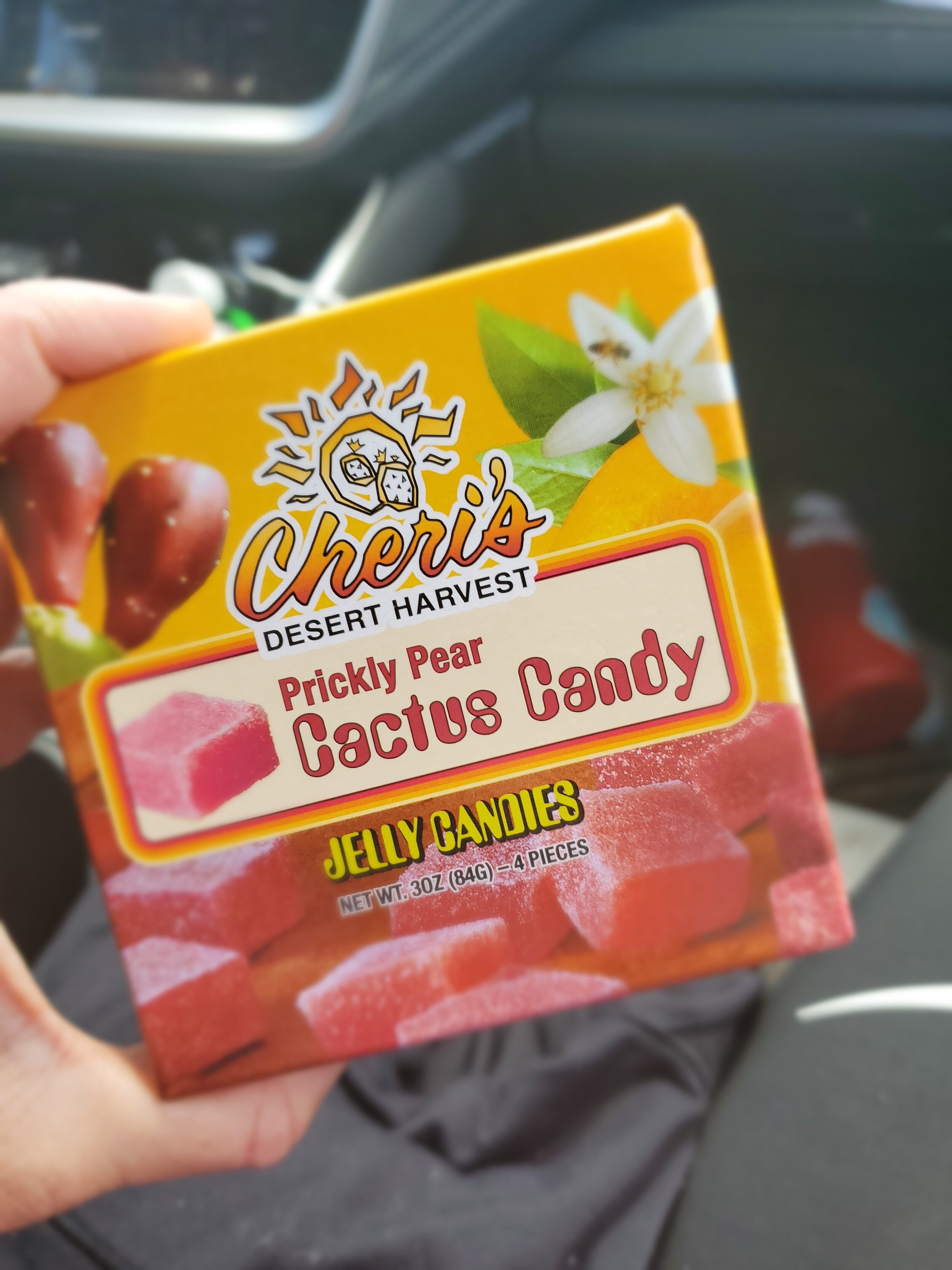
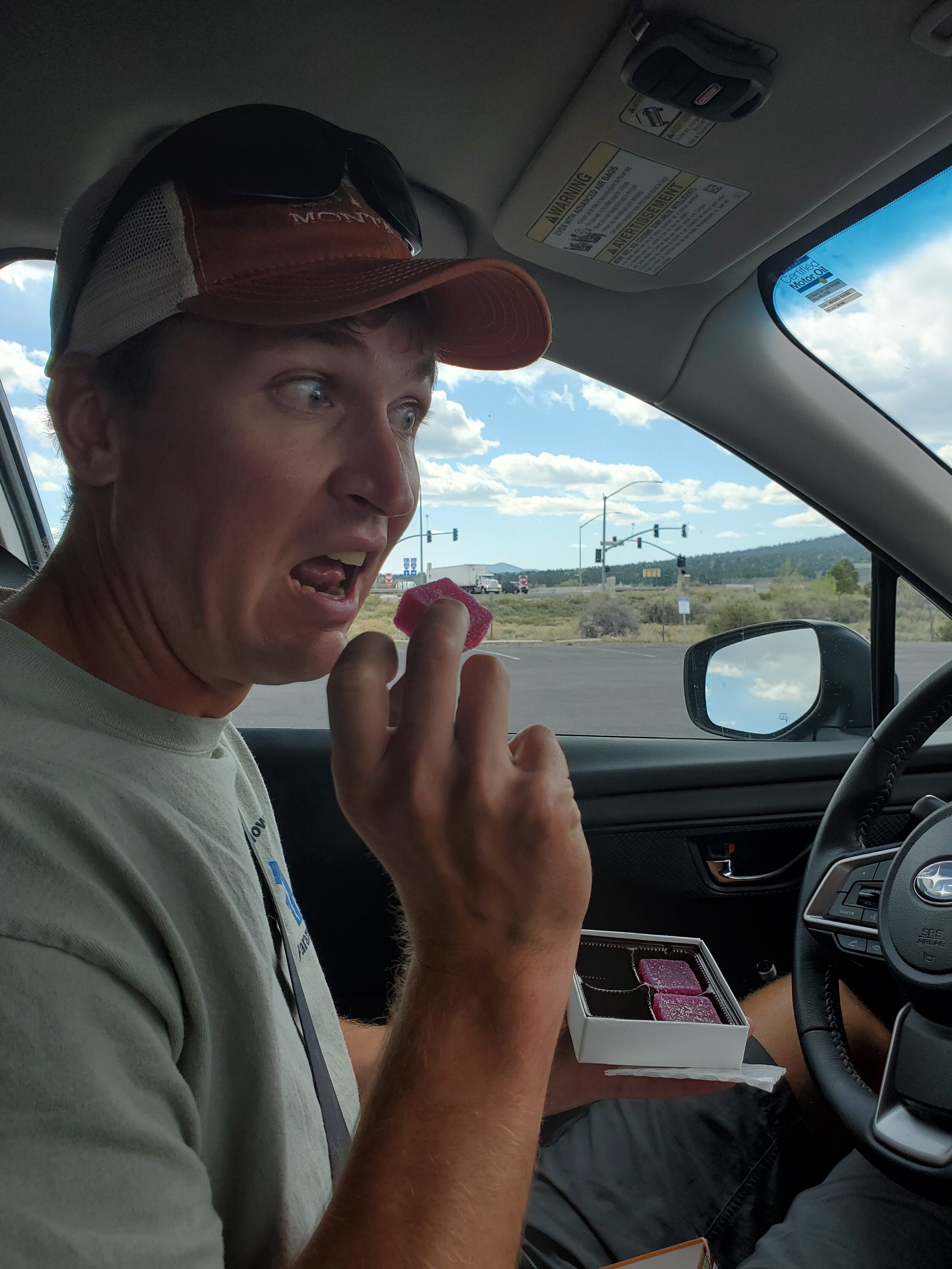
They were able to take our money for some truly awful prickly pear cactus candy, which are apparently the Southwest equivalent of huckleberry flavored [insert food item, usually candy or jelly]. We expected the candy to be awful, but it exceeded our expectation of awfulness. Like actual huckleberries, I’m sure actual prickly pear cactus tastes good! And not like corn syrup and red flavor #15. Anyway, we needed to confirm our suspicions.
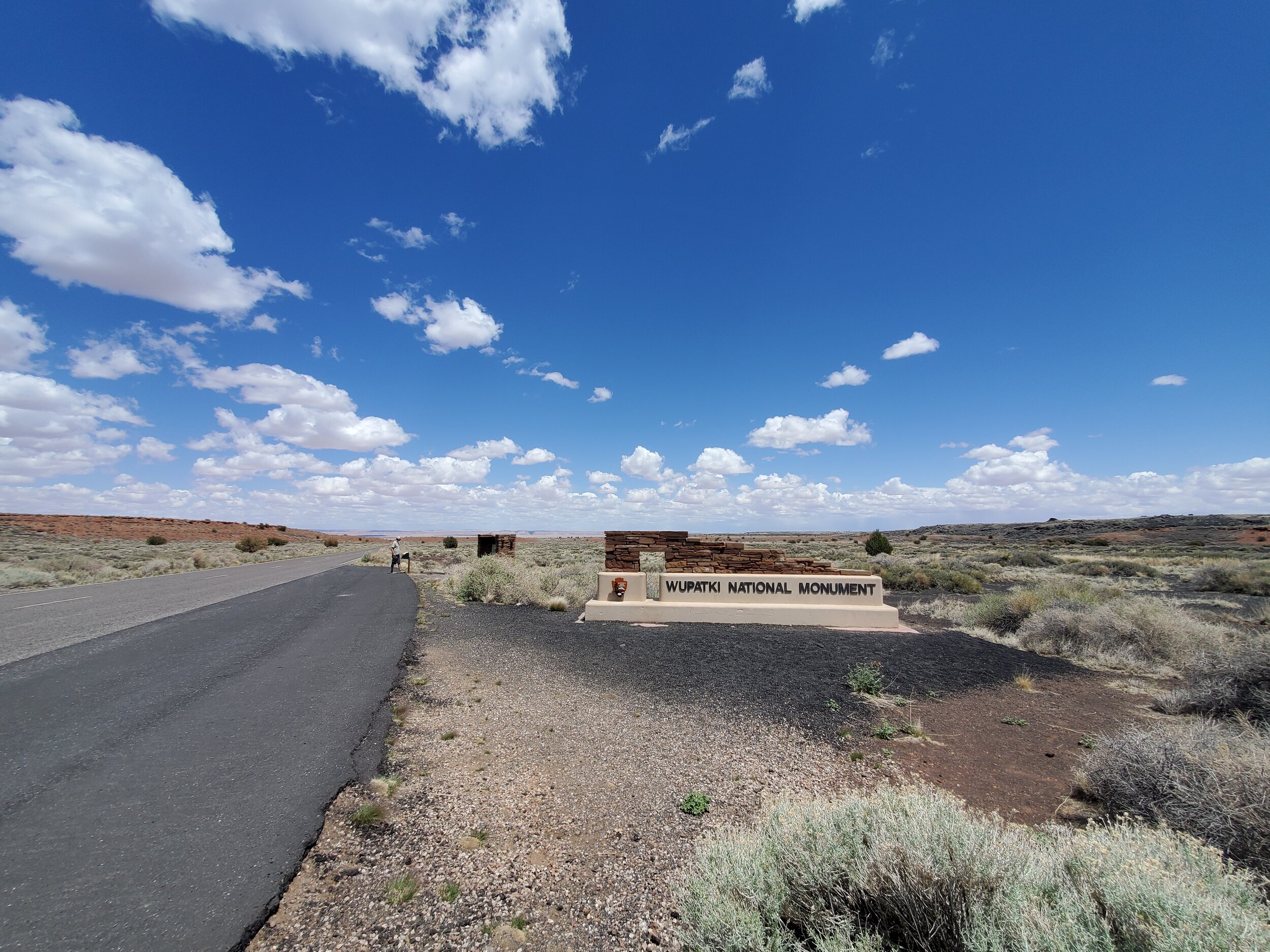
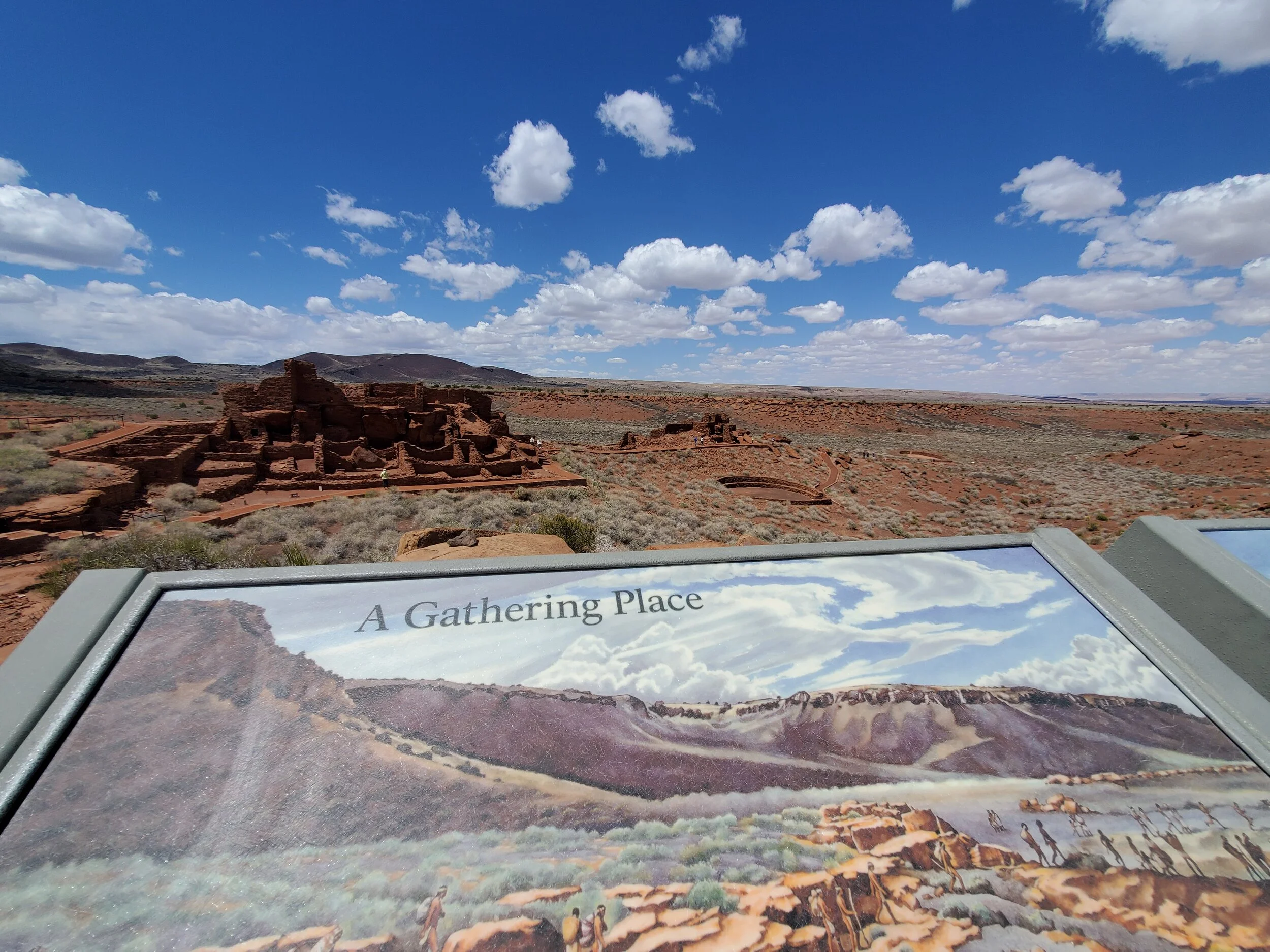
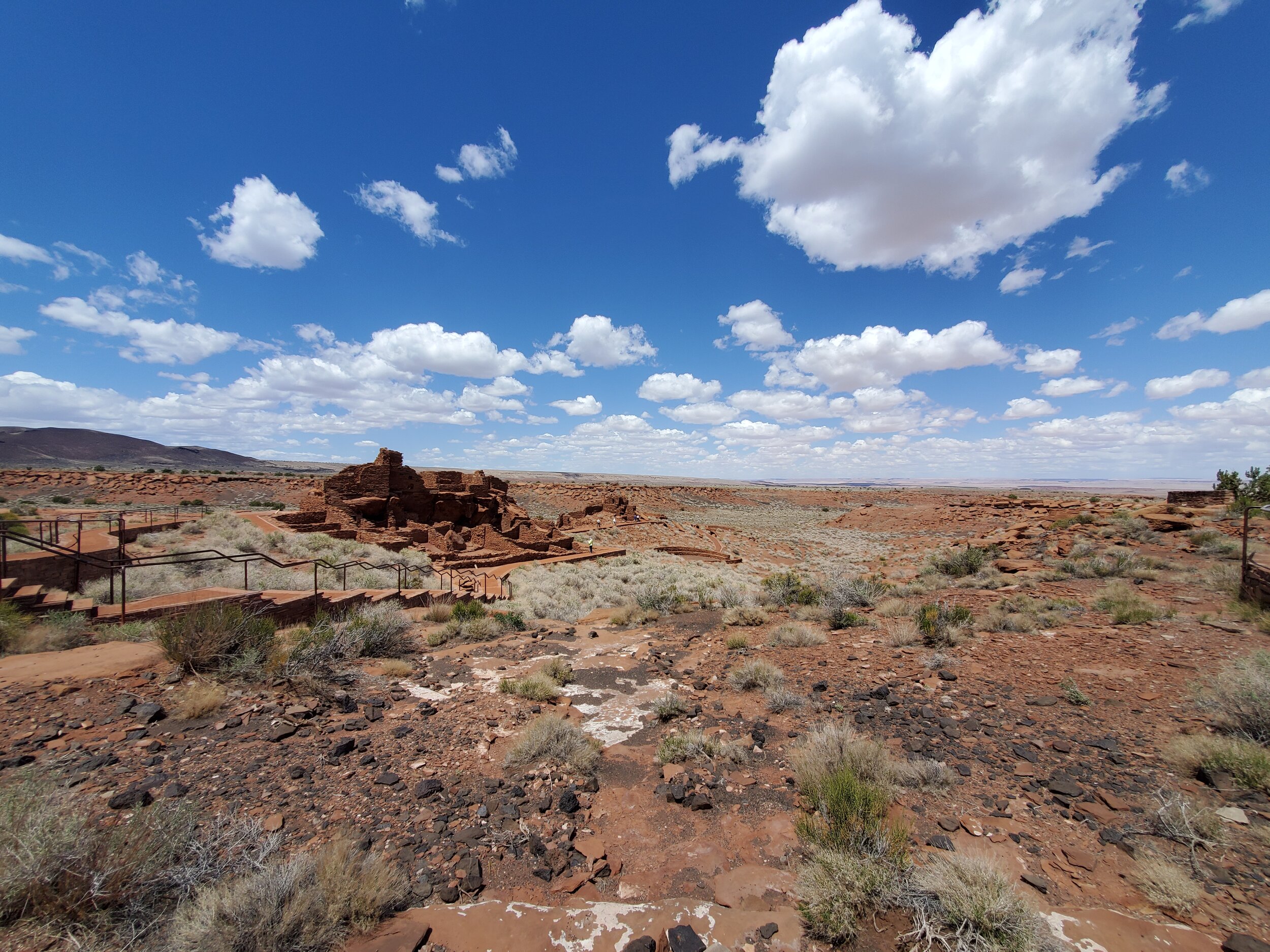
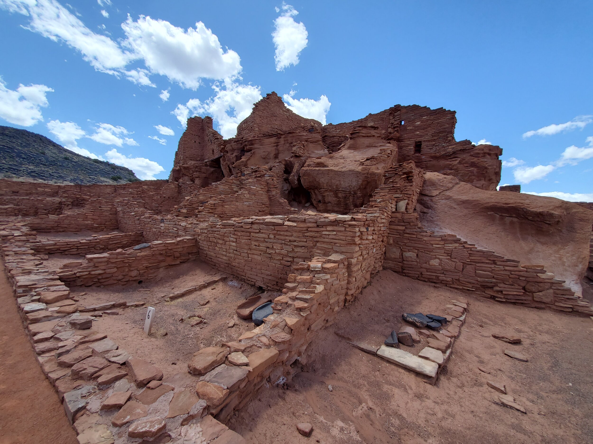
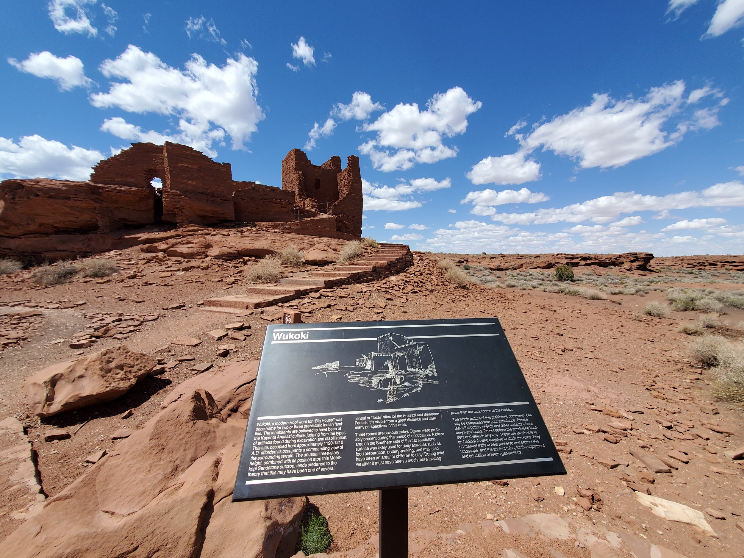
Wupatki National Monument preserves impressive ancestral Puebloan villages. The sites were occupied from about 500 CE to approximately 1225 CE with the peak of the population booming following the eruption of Sunset Crater which deposited rich volcanic ash into the soil. The pueblos housed a people called the “Sinagua” by modern anthropologists, but who were ancestors of the Hopi, Zuni, and other tribes of northern and central Arizona.
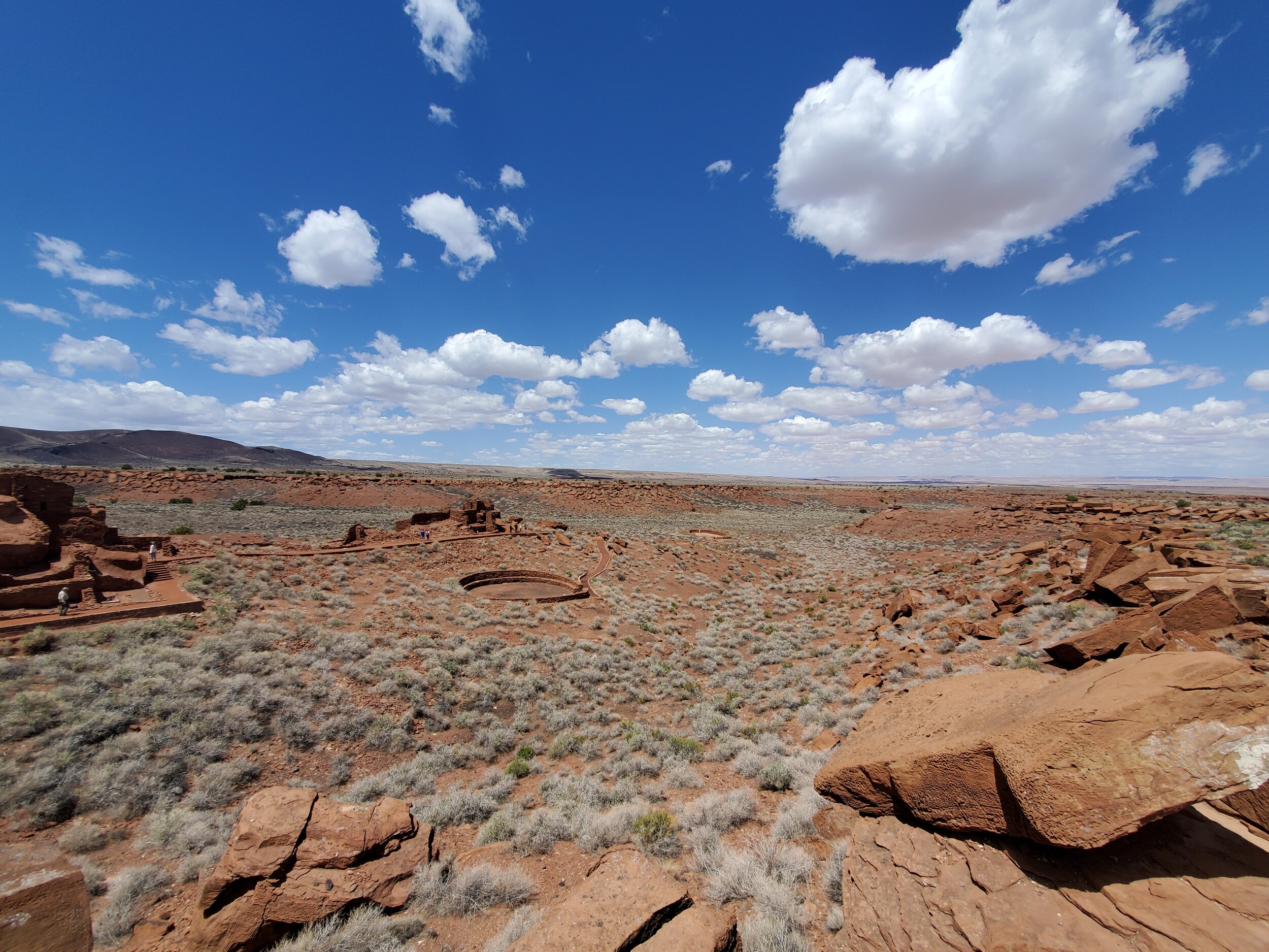
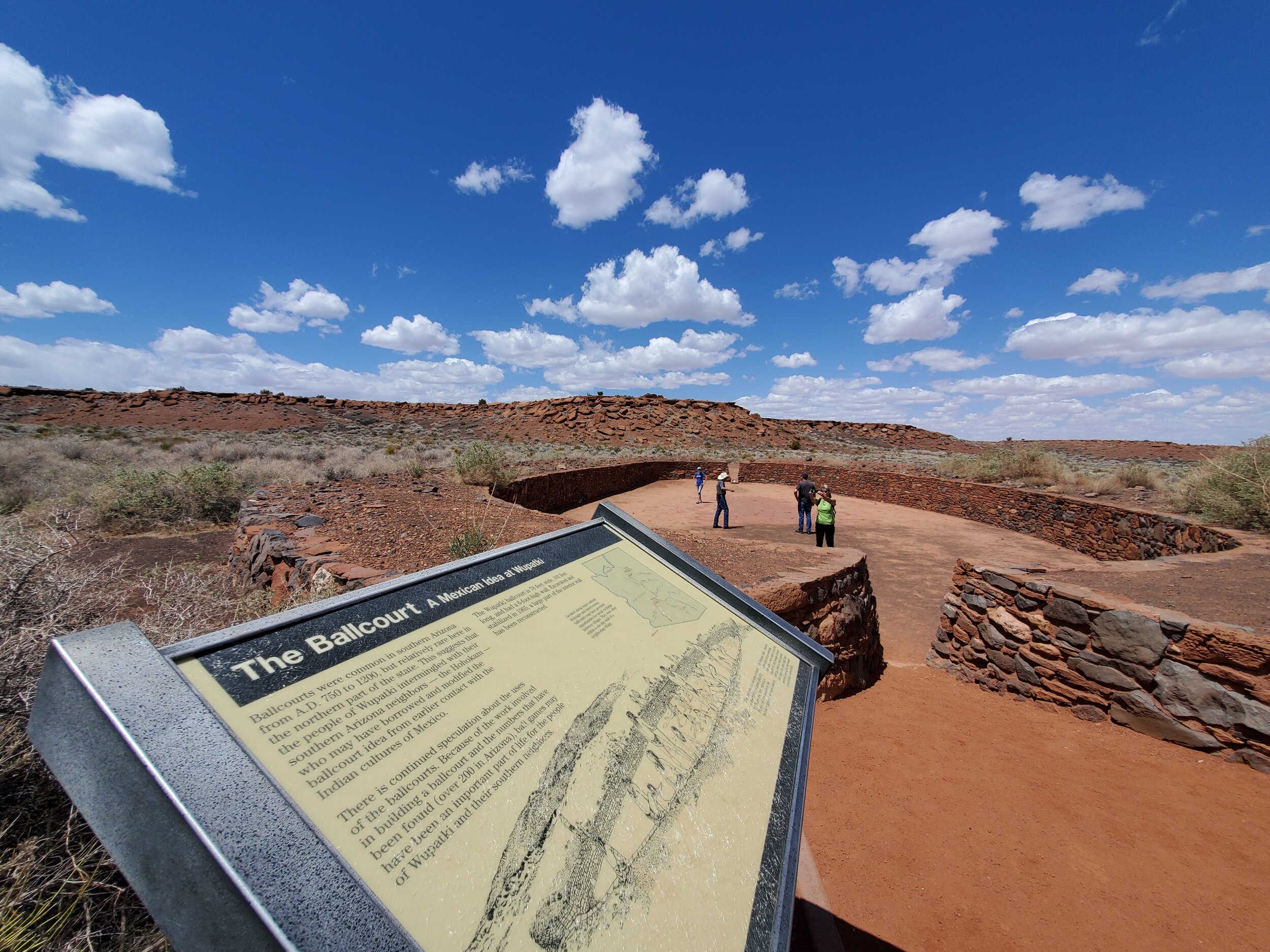
The “blowhole” is a subtle & fascinating feature near one of the ballcourts. You can read more about these otherworldly portals here.
“Research on blowholes in northern Arizona indicates that the openings connect with an extensive underground fracture system. Fractures open to the surface are locally known as "earth cracks," which are sometimes hundreds of feet deep.”
When we were there the weather was warm and due to air temperature & pressure & other science-y reasons, the blowhole was like a natural air conditioner. How blowholes work & what is underneath (caverns? narrow fractures?) remains a debated mystery.
Go and see this place for yourself. I’ll leave you with this.
“In Hopi culture there is a story from the Second Mesa village of Shungopovi indicating that blowholes are connected to the supernatural, openings to the wind god, Yaponcha.”